![](/images/other/stat-length.png)
![Tour Zu Fuß Ober Lomna - NS Wolfram – Morávka - Photo](https://media.geolcdn.com/t/1900/400/facccdd6-2afa-401a-a0fb-4b8f1917ab88.jpeg&format=pjpeg&maxdim=2)
NS Wolfram – Morávka
SityTrail - itinéraires balisés pédestres
Tous les sentiers balisés d’Europe GUIDE+
![Länge](/images/other/stat-length.png)
Länge
12,6 km
![Maximale Höhe](https://static1.geolcdn.com/siteimages/upload/files/1508320355ic_sort_altitude_max_24dp.png)
Maximale Höhe
923 m
![Positive Höhendifferenz](https://static1.geolcdn.com/siteimages/upload/files/1508320355ic_sort_den_pos_24dp.png)
Positive Höhendifferenz
187 m
![Km-Effort](/images/other/stat-length.png)
Km-Effort
16,6 km
![Min. Höhe](https://static1.geolcdn.com/siteimages/upload/files/1508320355ic_sort_altitude_min_24dp.png)
Min. Höhe
459 m
![Negative Höhendifferenz](https://static1.geolcdn.com/siteimages/upload/files/1508320355ic_sort_den_neg_24dp.png)
Negative Höhendifferenz
646 m
![Boucle](https://static1.geolcdn.com/siteimages/upload/files/16400158638029165_repeat_loop_refresh_sync_direction_icon.png)
Boucle
Nein
Kennzeichnung
Erstellungsdatum :
2025-02-07 17:24:01.746
Letzte Änderung :
2025-02-07 17:24:01.746
![Zu Fuß](https://static1.geolcdn.com/sitytour/trail-icons/100.png)
3h46
Schwierigkeit : Einfach
![Scannen Sie diesen QR-Code, um die Tour in der SityTrail-Anwendung zu öffnen](https://capi.geolives.com/qq0zvz2zws4bq2lad0pu/sitytour/trails/4346361/qr.png?size=200)
Kostenlosegpshiking-Anwendung
Über SityTrail
Tour Zu Fuß von 12,6 km verfügbar auf Mährisch-Schlesien, Mährisch-Schlesische Region, Ober Lomna. Diese Tour wird von SityTrail - itinéraires balisés pédestres vorgeschlagen.
Beschreibung
Tour erstellt von Obec Morávka.
Website: https://www.beskydy.cz/content/beskydy-moravka-naucna-stezka-wolfram.aspx
Ort
Land:
Czech Republic
Region :
Mährisch-Schlesien
Abteilung/Provinz :
Mährisch-Schlesische Region
Kommune :
Ober Lomna
Standort:
Unknown
Gehen Sie:(Dec)
Gehen Sie:(UTM)
327763 ; 5491761 (34U) N.
Kommentare
Touren in der Umgebung
![Tour Zu Fuß Košařiska - NS Po stopách salašnictví - Photo](https://media.geolcdn.com/t/375/260/21e0d27a-d913-4004-bd7f-32390b389d40.jpeg&format=jpg&maxdim=2)
![Zu Fuß Zu Fuß](https://static1.geolcdn.com/sitytour/trail-icons/100.png)
NS Po stopách salašnictví
Zu Fuß
Einfach
Košařiska,
Mährisch-Schlesien,
Mährisch-Schlesische Region,
Czech Republic
![](/images/other/stat-length.png)
6,1 km | 10 km-effort
2h 17min
![](https://static1.geolcdn.com/siteimages/upload/files/16400158638029165_repeat_loop_refresh_sync_direction_icon.png)
Ja
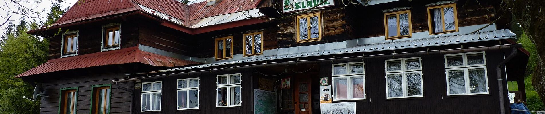
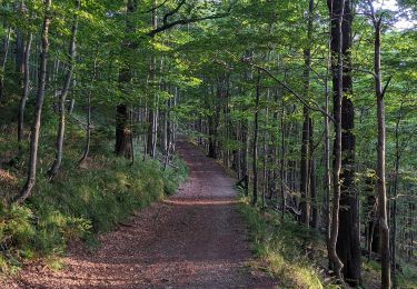
![Tour Zu Fuß Morávka - [M] Uspolka-Morávka - Photo](https://media.geolcdn.com/t/375/260/cd9182e3-9f48-426f-bac7-0390bb374e82.jpeg&format=jpg&maxdim=2)
![Zu Fuß Zu Fuß](https://static1.geolcdn.com/sitytour/trail-icons/100.png)
[M] Uspolka-Morávka
Zu Fuß
Einfach
Morávka,
Mährisch-Schlesien,
Mährisch-Schlesische Region,
Czech Republic
![](/images/other/stat-length.png)
7,3 km | 10,4 km-effort
2h 22min
![](https://static1.geolcdn.com/siteimages/upload/files/16400158638029165_repeat_loop_refresh_sync_direction_icon.png)
Nein